Geolocate

Cooper River Landing topographic map

Click on the map to display elevation.

About this map

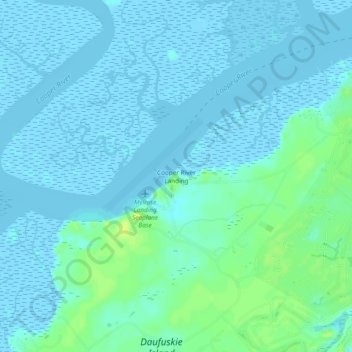
Name: Cooper River Landing topographic map, elevation, terrain.

Location: Cooper River Landing, Beaufort County, South Carolina, 29915, United States (32.11382 -80.88900 32.15382 -80.84900)

Average elevation: 3 m

Minimum elevation: -4 m

Maximum elevation: 16 m

Other topographic maps

Click on a map to view its topography, its elevation and its terrain.

Gear up for your next adventure:

🧼Biodegradable Camp Soap - Environmentally friendly cleaning for gear and body
🥾Waterproof Hiking Shoes - Durable shoes for wet and rugged trails
🧴Outdoor Sunscreen - High SPF protection for high-altitude UV exposure
🔋Emergency Crank Radio - Weather alerts and power without needing batteries
🩹Compact First Aid Kit - Pre-packed essentials for common trail injuries

As an Amazon Associate, this site earns from qualifying purchases at no extra cost to you.