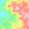
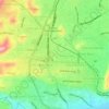
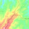
Pringsewu topographic map
Click on the map to display elevation.
About this map

Name: Pringsewu topographic map, elevation, terrain.
Location: Pringsewu, Lampung, Sumatra, 35373, Indonesia (-5.57641 104.77151 -5.15693 105.08600)
Average elevation: 247 m
Minimum elevation: 3 m
Maximum elevation: 1,627 m
Other topographic maps
Click on a map to view its topography, its elevation and its terrain.











Anak Krakatoa
Indonesia > Lampung > Lampung Selatan
The island had reached a maximum elevation of 338 m (1,109 ft) before its collapse during the 2018 eruptive event.
Average elevation: 20 m