
ولسوالی فیروزکوه topographic map
Interactive map
Click on the map to display elevation.
About this map
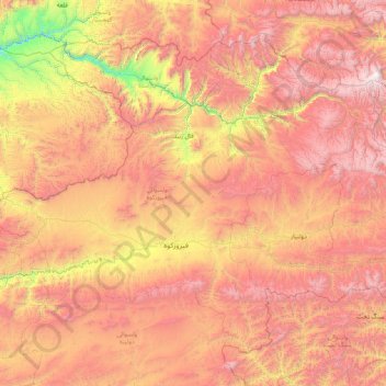
Name: ولسوالی فیروزکوه topographic map, elevation, terrain.
Location: ولسوالی فیروزکوه, Ghor, Afghanistan (34.12656 64.45393 35.27986 66.14421)
Average elevation: 2,747 m
Minimum elevation: 1,408 m
Maximum elevation: 4,143 m
Other topographic maps
Click on a map to view its topography, its elevation and its terrain.