
لعل topographic map
Interactive map
Click on the map to display elevation.
About this map
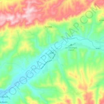
Name: لعل topographic map, elevation, terrain.
Location: لعل, ولسوالی لعل و سر جنگل, Ghor, Afghanistan (34.46141 66.23997 34.54141 66.31997)
Average elevation: 2,956 m
Minimum elevation: 2,760 m
Maximum elevation: 3,284 m