Geolocate

Sigra topographic map

Click on the map to display elevation.

About this map

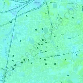
Name: Sigra topographic map, elevation, terrain.

Location: Sigra, Varanasi, Sadar, Varanasi, Uttar Pradesh, 221010, India (25.30126 82.97521 25.32126 82.99521)

Average elevation: 81 m

Minimum elevation: 77 m

Maximum elevation: 84 m

Other topographic maps

Click on a map to view its topography, its elevation and its terrain.

Ananad Bagh

India > Uttar Pradesh > Sadar > Varanasi

Average elevation: 75 m

Gear up for your next adventure:

🧦Merino Wool Socks - Moisture-wicking comfort for long-distance hiking
🏃Hydration Running Vest - Carry water and maps close to your body for speed
🧦Thermal Socks - Warm socks for winter hiking or camping
💡LED Headlamp - Hands-free illumination for night hiking and camping
🛶Waterproof Dry Bags - Keep electronics and clothes dry during river crossings

As an Amazon Associate, this site earns from qualifying purchases at no extra cost to you.