
Ragoli topographic map
Click on the map to display elevation.
About this map
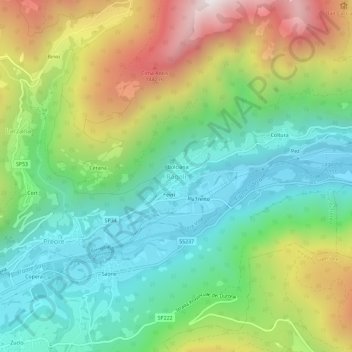
Name: Ragoli topographic map, elevation, terrain.
Average elevation: 896 m
Minimum elevation: 461 m
Maximum elevation: 1,689 m
Other topographic maps
Click on a map to view its topography, its elevation and its terrain.
Castello Tesino
Italy > Trentino – Alto Adige/Südtirol > Provincia di Trento
Average elevation: 1,350 m
Telve di Sopra
Italy > Trentino – Alto Adige/Südtirol > Provincia di Trento
Average elevation: 1,228 m