Geolocate

Grape Creek topographic map

Click on the map to display elevation.

About this map

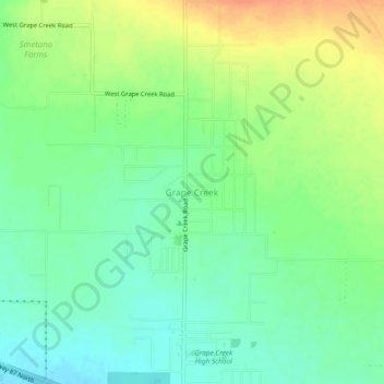
Name: Grape Creek topographic map, elevation, terrain.

Location: Grape Creek, Tom Green County, Texas, United States (31.56526 -100.56648 31.60526 -100.52648)

Average elevation: 611 m

Minimum elevation: 595 m

Maximum elevation: 634 m

Other topographic maps

Click on a map to view its topography, its elevation and its terrain.

San Angelo

United States > Texas > Tom Green County

Average elevation: 576 m

San Angelo

United States > Texas > Tom Green County

Average elevation: 576 m

Gear up for your next adventure:

🧦Thermal Socks - Warm socks for winter hiking or camping
💧Filtered Water Bottle - Safe drinking water on the go
🧭GPS Tracker - Track your location in remote areas safely
🛏️Sleeping Bag - Warm and compact sleeping bags for outdoor camping
🏃Hydration Running Vest - Carry water and maps close to your body for speed

As an Amazon Associate, this site earns from qualifying purchases at no extra cost to you.