Geolocate

White Island topographic map

Click on the map to display elevation.

About this map

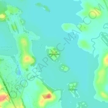
Name: White Island topographic map, elevation, terrain.

Location: White Island, County Fermanagh, Ulster, Northern Ireland, United Kingdom (54.39595 -7.68258 54.40035 -7.67540)

Average elevation: 48 m

Minimum elevation: 37 m

Maximum elevation: 86 m

Other topographic maps

Click on a map to view its topography, its elevation and its terrain.

Ederney

United Kingdom > Northern Ireland > County Fermanagh

By 1797, the settlement is recorded in the Topographia Hibernica as Ederny Bridge and "fair days" were held there.

Average elevation: 91 m

Gear up for your next adventure:

🧼Travel Hand Sanitizer - Keep hands clean when water is scarce
🧢Outdoor Visor - Breathable visor for sunny hikes
🥽Outdoor Goggles - Protective eyewear for outdoor activities
🪑Insulated Seat Pad - Protect your seat from cold rocks and wet logs
🥾Trekking Boots - Durable boots for long-distance trekking

As an Amazon Associate, this site earns from qualifying purchases at no extra cost to you.