
Silver Springs topographic map
Click on the map to display elevation.
About this map
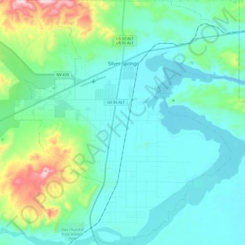
Name: Silver Springs topographic map, elevation, terrain.
Location: Silver Springs, Lyon County, Nevada, 89429, United States (39.28661 -119.32496 39.46040 -119.11810)
Average elevation: 1,366 m
Minimum elevation: 1,256 m
Maximum elevation: 1,864 m
Other topographic maps
Click on a map to view its topography, its elevation and its terrain.