Geolocate

Smith topographic map

Click on the map to display elevation.

About this map

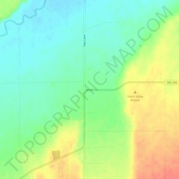
Name: Smith topographic map, elevation, terrain.

Location: Smith, Lyon County, Nevada, 89430, United States (38.78047 -119.34738 38.82047 -119.30738)

Average elevation: 1,461 m

Minimum elevation: 1,440 m

Maximum elevation: 1,490 m

Other topographic maps

Click on a map to view its topography, its elevation and its terrain.

Silver Springs

United States > Nevada > Lyon County

Average elevation: 1,366 m

Gear up for your next adventure:

💡LED Headlamp - Hands-free illumination for night hiking and camping
🧢Beanie Hat - Keep your head warm in cold weather
🧢Sun Protection Cap - Breathable cap to protect from sun exposure
🔋Lithium AA Batteries - Long-lasting power that performs in extreme cold
🎒Hiking Daypack - Lightweight and durable backpacks for day trips and excursions

As an Amazon Associate, this site earns from qualifying purchases at no extra cost to you.