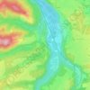
Bayrischzell topographic map
Click on the map to display elevation.
Bayrischzell
Bayrischzell is located in the Mangfallgebirge between Schliersee in the West and Oberaudorf in the East. It is located at the foot of Wendelstein mountain, at the foot of Sudelfeld and below the Sudelfeld pass. It lies at the northern exit of Ursprungtal. It is 23 kilometres (14 mi) southeast of Miesbach, 25 kilometres (16 mi) northwest of Kufstein, 20 kilometres (12 mi) west of Oberaudorf. In the west of the municipality, near the border with the Schliersee municipality, is the Taubensteinhaus at 1,567 metres (5,141 ft) altitude.
About this map
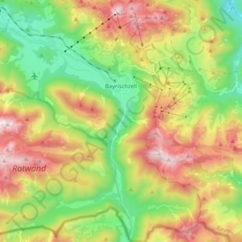
Name: Bayrischzell topographic map, elevation, terrain.
Location: Bayrischzell, Landkreis Miesbach, Bavaria, 83735, Germany (47.61107 11.91871 47.70802 12.06251)
Average elevation: 1,145 m
Minimum elevation: 646 m
Maximum elevation: 1,829 m
Other topographic maps
Click on a map to view its topography, its elevation and its terrain.