
West Dublin topographic map
Interactive map
Click on the map to display elevation.
About this map
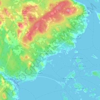
Name: West Dublin topographic map, elevation, terrain.
Location: West Dublin, Lunenburg County, Nova Scotia, B0R 1C0, Canada (44.23805 -64.42581 44.27645 -64.30990)
Average elevation: 30 m
Minimum elevation: -2 m
Maximum elevation: 118 m
Nova Scotia trails, hiking, mountain biking, running and outdoor activities