
Rossburn topographic map
Click on the map to display elevation.
About this map
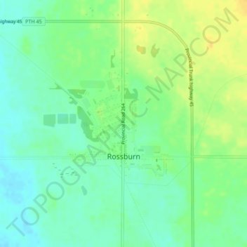
Name: Rossburn topographic map, elevation, terrain.
Location: Rossburn, Division No. 16, Manitoba, Canada (50.66090 -100.82245 50.68294 -100.79900)
Average elevation: 591 m
Minimum elevation: 580 m
Maximum elevation: 605 m
Division No. 16 trails, hiking, mountain biking, running and outdoor activities
Other topographic maps
Click on a map to view its topography, its elevation and its terrain.
Lake of the Prairies
Canada > Manitoba > Division No. 16 > Rural Municipality of Riding Mountain West
Average elevation: 502 m
Angusville
Canada > Manitoba > Division No. 16 > Rural Municipality of Riding Mountain West > Angusville
Average elevation: 579 m