Geolocate

Lincoln topographic map

Click on the map to display elevation.

About this map
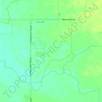
Name: Lincoln topographic map, elevation, terrain.

Location: Lincoln, Placer County, California, United States (38.85134 -121.34937 38.86811 -121.33542)

Average elevation: 34 m

Minimum elevation: 26 m

Maximum elevation: 41 m

Gear up for your next adventure:

🥾Hiking Shorts - Breathable shorts suitable for summer hikes
🧤Insulated Winter Gloves - Heavy-duty protection for sub-zero Canadian adventures
🧭GPS Handheld Device - Reliable GPS navigation for outdoor adventures
⛺Backpacking Tent - Lightweight tent for long-distance hiking trips
🧴Outdoor Sunscreen - High SPF protection for high-altitude UV exposure

As an Amazon Associate, this site earns from qualifying purchases at no extra cost to you.