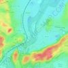
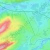
Oberstaufen topographic map
Click on the map to display elevation.
About this map
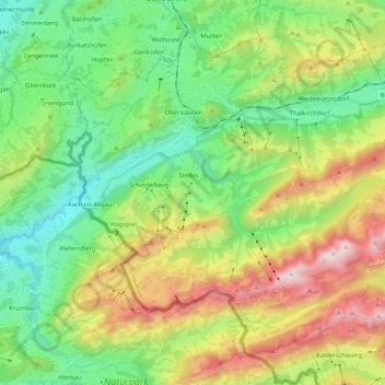
Name: Oberstaufen topographic map, elevation, terrain.
Location: Oberstaufen, Landkreis Oberallgäu, Bavaria, 87534, Germany (47.46563 9.95842 47.58342 10.16510)
Average elevation: 984 m
Minimum elevation: 547 m
Maximum elevation: 1,817 m
Other topographic maps
Click on a map to view its topography, its elevation and its terrain.

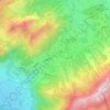
Weiherkopf
Germany > Bavaria > Landkreis Oberallgäu > Bolsterlang
In 18th century maps the mountain is described as the Veier; but, from 1940, in the topographical map of Fischen as the Weiher Kopf. "A pond [Weiher] from which the name might have been derived can no longer be identified". Steiner believes it is, however, entirely plausible that the mountain might once have…
Average elevation: 1,374 m
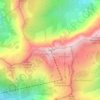
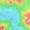
Immenstadt im Allgäu
Germany > Bavaria > Landkreis Oberallgäu > Immenstadt im Allgäu
Average elevation: 910 m
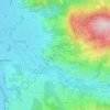

Holdenried
Germany > Bavaria > Landkreis Oberallgäu > Wiggensbach > Wiggensbach
Average elevation: 904 m