
Esrange Space Center topographic map
Click on the map to display elevation.
Esrange Space Center
Esrange Space Center (short form Esrange) is a rocket range and research centre located about 40 kilometers east of the town of Kiruna in northern Sweden. It is a base for scientific research with high-altitude balloons, investigation of the aurora borealis, sounding rocket launches, and satellite tracking, among other things. Located 200 km north of the Arctic Circle and surrounded by a vast wilderness, its geographic location is ideal for many of these purposes.
About this map
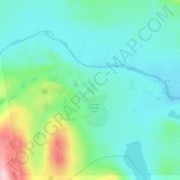
Name: Esrange Space Center topographic map, elevation, terrain.
Average elevation: 332 m
Minimum elevation: 278 m
Maximum elevation: 528 m