Geolocate

Tajur topographic map

Click on the map to display elevation.

About this map
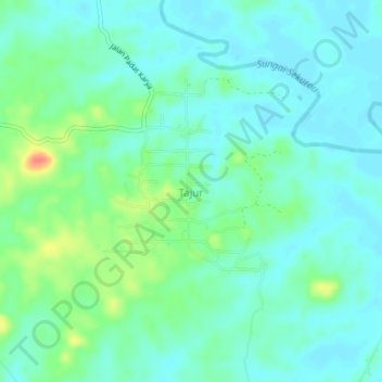
Name: Tajur topographic map, elevation, terrain.

Location: Tajur, Paser, East Kalimantan, Indonesia (-1.65080 116.18062 -1.61080 116.22062)

Average elevation: 13 m

Minimum elevation: 0 m

Maximum elevation: 50 m

Other topographic maps

Click on a map to view its topography, its elevation and its terrain.

Sungai Kendilo

Indonesia > East Kalimantan > Paser > Pepara

Average elevation: 5 m

Gear up for your next adventure:

🕶️Polarized Sunglasses - Protect your eyes with durable polarized lenses
🚲Heavy Duty Bike Lock - Secure your bike at the trailhead or during stops
🦶Hiking Shoe Insoles - Added support for high arches and long days on feet
🦯Trekking Poles - Reduced impact on joints for steep topographic climbs
🩹Compact First Aid Kit - Pre-packed essentials for common trail injuries

As an Amazon Associate, this site earns from qualifying purchases at no extra cost to you.