
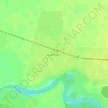
Mândruloc topographic map
Interactive map
Click on the map to display elevation.
About this map
Name: Mândruloc topographic map, elevation, terrain.
Location: Mândruloc, Glogowatz, Arad, 317408, Rumänien (46.14145 21.45397 46.15298 21.47231)
Average elevation: 116 m
Minimum elevation: 105 m
Maximum elevation: 121 m
Other topographic maps
Click on a map to view its topography, its elevation and its terrain.