
Cicir topographic map
Interactive map
Click on the map to display elevation.
About this map
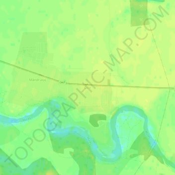
Name: Cicir topographic map, elevation, terrain.
Location: Cicir, Glogowatz, Arad, 317406, Rumänien (46.12526 21.46074 46.16526 21.50074)
Average elevation: 117 m
Minimum elevation: 105 m
Maximum elevation: 122 m
Other topographic maps
Click on a map to view its topography, its elevation and its terrain.