Geolocate

Vallåsen topographic map

Click on the map to display elevation.

About this map

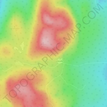
Name: Vallåsen topographic map, elevation, terrain.

Location: Vallåsen, Hudiksvalls kommun, Gävleborg County, Sweden (61.73080 16.79479 61.73090 16.79489)

Average elevation: 224 m

Minimum elevation: 102 m

Maximum elevation: 342 m

Other topographic maps

Click on a map to view its topography, its elevation and its terrain.

Gävle

Sweden > Gävleborg County

Average elevation: 28 m

Disan

Sweden > Gävleborg County

Average elevation: 43 m

Gran

Sweden > Gävleborg County > Gnarp District

Average elevation: 0 m

Ljusdals kommun

Sweden > Gävleborg County

Average elevation: 315 m

Hamra

Sweden > Gävleborg County

Average elevation: 437 m

Hamra

Sweden > Gävleborg County

Average elevation: 437 m

Hudiksvalls kommun

Sweden > Gävleborg County

Average elevation: 95 m

Hamra

Sweden > Gävleborg County

Average elevation: 437 m

Söderhamns kommun

Sweden > Gävleborg County

Average elevation: 67 m

Gnarp District

Sweden > Gävleborg County

Average elevation: 32 m

Gävle kommun

Sweden > Gävleborg County

Average elevation: 61 m

Ovanåkers kommun

Sweden > Gävleborg County

Average elevation: 269 m

Hofors kommun

Sweden > Gävleborg County

Average elevation: 147 m

Gear up for your next adventure:

🥾Waterproof Hiking Shoes - Durable shoes for wet and rugged trails
🧼Travel Hand Sanitizer - Keep hands clean when water is scarce
🎒Backpack Rain Cover - External shield to keep your entire pack dry
🦶Anti-Blister Balm - Prevents friction and hotspots during long ascents
🧴Outdoor Sunscreen - High SPF protection for high-altitude UV exposure

As an Amazon Associate, this site earns from qualifying purchases at no extra cost to you.