
Blancos topographic map
Interactive map
Click on the map to display elevation.
About this map
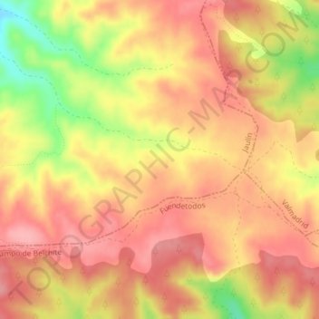
Name: Blancos topographic map, elevation, terrain.
Location: Blancos, Jaulín, Zaragoza, Aragón, España (41.39376 -0.93685 41.41376 -0.91685)
Average elevation: 687 m
Minimum elevation: 612 m
Maximum elevation: 724 m
Other topographic maps
Click on a map to view its topography, its elevation and its terrain.