
Jaulín topographic map
Interactive map
Click on the map to display elevation.
About this map
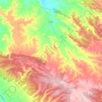
Name: Jaulín topographic map, elevation, terrain.
Location: Jaulín, Zaragoza, Aragón, España (41.39053 -1.02994 41.46454 -0.91575)
Average elevation: 621 m
Minimum elevation: 448 m
Maximum elevation: 748 m
Other topographic maps
Click on a map to view its topography, its elevation and its terrain.