Geolocate

Vintrie topographic map

Click on the map to display elevation.

About this map
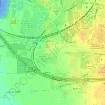
Name: Vintrie topographic map, elevation, terrain.

Location: Vintrie, Väster, Malmö, Malmö kommun, Skåne County, 218 45, Sweden (55.54686 12.93272 55.56219 12.98361)

Average elevation: 15 m

Minimum elevation: -49 m

Maximum elevation: 28 m

Other topographic maps

Click on a map to view its topography, its elevation and its terrain.

Jerusalem

Sweden > Skåne County > Malmo

Average elevation: 6 m

Bunkeflo

Sweden > Skåne County > Malmo

Average elevation: 14 m

Bunkeflo

Sweden > Skåne County > Malmo

Average elevation: 14 m

Arlöv

Sweden > Skåne County > Malmo

Average elevation: 8 m

Helge

Sweden > Skåne County > Malmo

Average elevation: 7 m

Gear up for your next adventure:

🧢Hiking Hat - Sun-protective and breathable hats for long treks
⛺Backpacking Tent - Lightweight tent for long-distance hiking trips
🥾Trail Running Boots - Durable shoes designed for trail running
⛺Lightweight Backpacking Tent - Compact tent for efficient hiking trips
🛏️Camping Sleeping Mat - Comfortable mats for sleeping outdoors

As an Amazon Associate, this site earns from qualifying purchases at no extra cost to you.