

Wigan topographic map
Click on the map to display elevation.
About this map
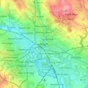
Name: Wigan topographic map, elevation, terrain.
Location: Wigan, Greater Manchester, England, WN1 1NR, United Kingdom (53.50622 -2.67191 53.58622 -2.59191)
Average elevation: 66 m
Minimum elevation: 20 m
Maximum elevation: 168 m
Other topographic maps
Click on a map to view its topography, its elevation and its terrain.


Leigh Branch (Leeds & Liverpool Canal)
United Kingdom > England > Wigan > Abram
Average elevation: 43 m