
Mayerthorpe topographic map
Interactive map
Click on the map to display elevation.
About this map
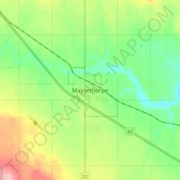
Name: Mayerthorpe topographic map, elevation, terrain.
Location: Mayerthorpe, Town of Mayerthorpe, Alberta, T0E 1N0, Canada (53.91237 -115.17841 53.99237 -115.09841)
Average elevation: 719 m
Minimum elevation: 671 m
Maximum elevation: 810 m