Geolocate

Wanlip topographic map

Click on the map to display elevation.

About this map

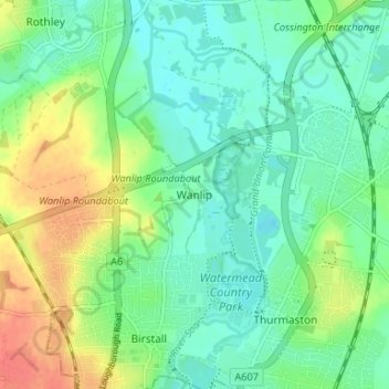
Name: Wanlip topographic map, elevation, terrain.

Location: Wanlip, Borough of Charnwood, Leicestershire, England, LE7 4PH, United Kingdom (52.67183 -1.13265 52.71183 -1.09265)

Average elevation: 61 m

Minimum elevation: 43 m

Maximum elevation: 96 m

Other topographic maps

Click on a map to view its topography, its elevation and its terrain.

Gear up for your next adventure:

🔭Compact Monocular - One-handed bird watching and trail spotting
Camping Groundsheet - Protect your tent from moisture and dirt
🔋Lithium AA Batteries - Long-lasting power that performs in extreme cold
🛶Canoe Life Vest - Safety vest for water sports
🎒Fully Waterproof Backpack - Total protection for photography gear and electronics

As an Amazon Associate, this site earns from qualifying purchases at no extra cost to you.