
Geesbrug topographic map
Interactive map
Click on the map to display elevation.
About this map
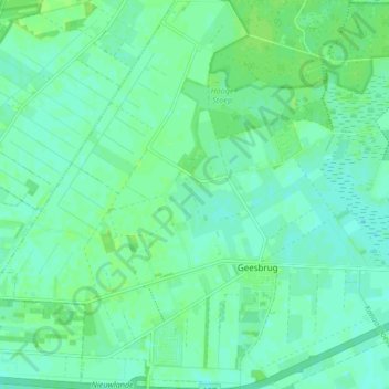
Name: Geesbrug topographic map, elevation, terrain.
Location: Geesbrug, Coevorden, Drenthe, Nederland (52.71242 6.57643 52.76292 6.65396)
Average elevation: 16 m
Minimum elevation: 11 m
Maximum elevation: 20 m
Other topographic maps
Click on a map to view its topography, its elevation and its terrain.
Oosterhesselen
Nederland > Drenthe > Coevorden
Oosterhesselen, Coevorden, Drenthe, Nederland
Average elevation: 15 m