
Municipal District of Smoky River topographic map
Interactive map
Click on the map to display elevation.
About this map
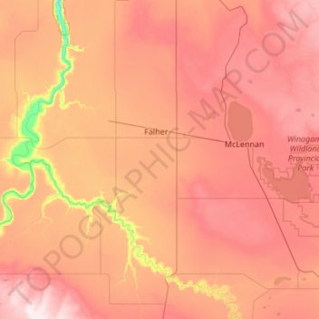
Name: Municipal District of Smoky River topographic map, elevation, terrain.
Location: Municipal District of Smoky River, Alberta, Canada (55.37444 -117.68846 55.98537 -116.77028)
Average elevation: 598 m
Minimum elevation: 336 m
Maximum elevation: 818 m