
Nampa topographic map
Click on the map to display elevation.
About this map
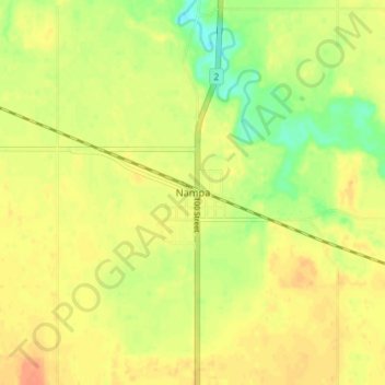
Name: Nampa topographic map, elevation, terrain.
Location: Nampa, Northern Sunrise County, Alberta, Canada (56.01888 -117.15391 56.05888 -117.11391)
Average elevation: 575 m
Minimum elevation: 553 m
Maximum elevation: 588 m
Northern Sunrise County trails, hiking, mountain biking, running and outdoor activities
Other topographic maps
Click on a map to view its topography, its elevation and its terrain.