
Mussel topographic map
Interactive map
Click on the map to display elevation.
About this map
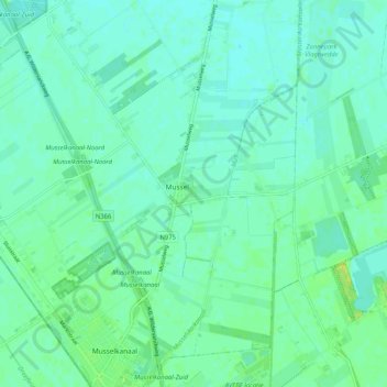
Name: Mussel topographic map, elevation, terrain.
Location: Mussel, Stadskanaal, Groningen, Niederlande (52.92465 7.01477 52.98677 7.07112)
Average elevation: 7 m
Minimum elevation: 2 m
Maximum elevation: 18 m
Other topographic maps
Click on a map to view its topography, its elevation and its terrain.
Vledderveen
Niederlande > Groningen > Stadskanaal
Vledderveen, Stadskanaal, Groningen, Niederlande
Average elevation: 5 m