
Vledderveen topographic map
Interactive map
Click on the map to display elevation.
About this map
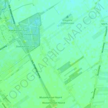
Name: Vledderveen topographic map, elevation, terrain.
Location: Vledderveen, Stadskanaal, Groningen, Niederlande (52.95865 6.98671 53.00391 7.03678)
Average elevation: 5 m
Minimum elevation: 1 m
Maximum elevation: 10 m
Other topographic maps
Click on a map to view its topography, its elevation and its terrain.
Mussel
Niederlande > Groningen > Stadskanaal
Mussel, Stadskanaal, Groningen, Niederlande
Average elevation: 7 m