
Aylesford topographic map
Interactive map
Click on the map to display elevation.
About this map
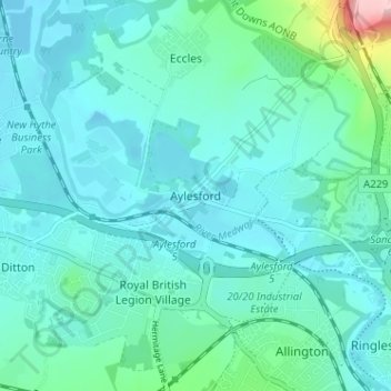
Name: Aylesford topographic map, elevation, terrain.
Location: Aylesford, Kent, South East, England, ME20 7BP, United Kingdom (51.28372 0.46264 51.32372 0.50264)
Average elevation: 28 m
Minimum elevation: -2 m
Maximum elevation: 194 m