Geolocate

Clapham topographic map

Click on the map to display elevation.

About this map

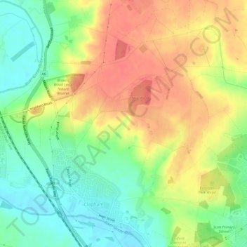
Name: Clapham topographic map, elevation, terrain.

Location: Clapham, Bedford, England, United Kingdom (52.15650 -0.51512 52.19239 -0.46670)

Average elevation: 60 m

Minimum elevation: 30 m

Maximum elevation: 90 m

Gear up for your next adventure:

🛶Waterproof Dry Bags - Keep electronics and clothes dry during river crossings
🥤Collapsible Travel Cup - Saves space and weight in your mess kit
🧦Hiking Liner Socks - Thin base layer to prevent friction and blisters
🥾Trail Running Shoes - Lightweight and durable shoes for trail running
🥾Mountain Hiking Shoes - Shoes with superior grip for mountainous terrain

As an Amazon Associate, this site earns from qualifying purchases at no extra cost to you.