
Bowden topographic map
Click on the map to display elevation.
About this map
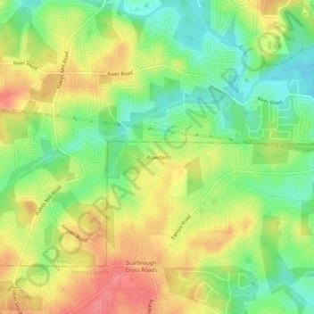
Name: Bowden topographic map, elevation, terrain.
Location: Bowden, Henry County, Georgia, United States (33.62455 -84.23631 33.66455 -84.19631)
Average elevation: 253 m
Minimum elevation: 216 m
Maximum elevation: 292 m
Other topographic maps
Click on a map to view its topography, its elevation and its terrain.