Geolocate

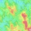
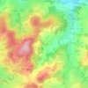
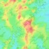
Vidaillat topographic map

Click on the map to display elevation.

About this map
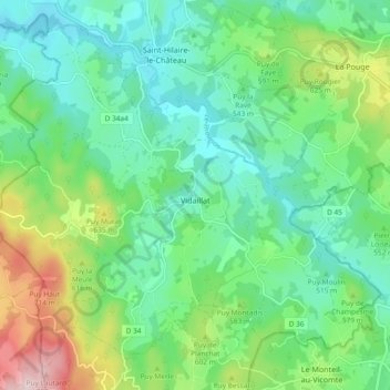
Name: Vidaillat topographic map, elevation, terrain.

Location: Vidaillat, Guéret, Creuse, Nouvelle-Aquitaine, Metropolitan France, 23250, France (45.93055 1.85739 45.98812 1.95067)

Average elevation: 535 m

Minimum elevation: 439 m

Maximum elevation: 781 m

Other topographic maps

Click on a map to view its topography, its elevation and its terrain.

Les Mazeires

France > Nouvelle-Aquitaine > Creuse > Saint-Éloi

Average elevation: 495 m

L'Eau Bonne

France > Nouvelle-Aquitaine > Creuse > Chénérailles

Average elevation: 514 m

Poussangette

France > Nouvelle-Aquitaine > Creuse > Clugnat

Average elevation: 458 m

Sermensanne

France > Nouvelle-Aquitaine > Creuse > Saint-Domet

Average elevation: 474 m

La Size

France > Nouvelle-Aquitaine > Creuse > Bussière-Dunoise

Average elevation: 437 m

Le Montbabut

France > Nouvelle-Aquitaine > Creuse > Mérinchal

Average elevation: 697 m

Gachard

France > Nouvelle-Aquitaine > Creuse > Charron

Average elevation: 498 m

Les Portes

France > Nouvelle-Aquitaine > Creuse > Mainsat

Average elevation: 595 m

Villemoneix

France > Nouvelle-Aquitaine > Creuse > Lafat

Average elevation: 310 m

Ruffiers

France > Nouvelle-Aquitaine > Creuse > Le Grand-Bourg

Average elevation: 400 m

Gear up for your next adventure:

🧢Hiking Hat - Sun-protective and breathable hats for long treks
🧦Thermal Socks - Warm socks for winter hiking or camping
🛶Waterproof Dry Bags - Keep electronics and clothes dry during river crossings
🧭GPS Tracker - Track your location in remote areas safely
🎒Hiking Daypack - Lightweight and durable backpacks for day trips and excursions

As an Amazon Associate, this site earns from qualifying purchases at no extra cost to you.