
Lac Lajoie topographic map
Interactive map
Click on the map to display elevation.
About this map
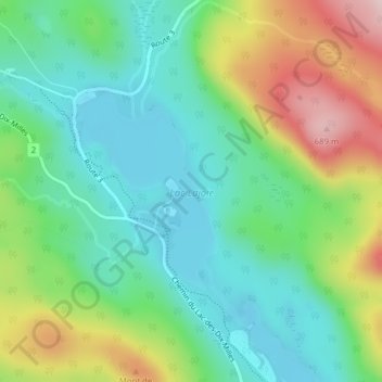
Name: Lac Lajoie topographic map, elevation, terrain.
Average elevation: 486 m
Minimum elevation: 385 m
Maximum elevation: 692 m
Other topographic maps
Click on a map to view its topography, its elevation and its terrain.
Lac-des-Dix-Milles
Canada > Quebec > Lac-des-Dix-Milles
Lac-des-Dix-Milles, Matawinie, Lanaudière, Quebec, Canada
Average elevation: 528 m