Geolocate

Danbury topographic map

Click on the map to display elevation.

About this map

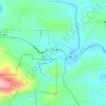
Name: Danbury topographic map, elevation, terrain.

Location: Danbury, Stokes County, North Carolina, United States (36.40236 -80.22685 36.41448 -80.19939)

Average elevation: 264 m

Minimum elevation: 208 m

Maximum elevation: 444 m

Other topographic maps

Click on a map to view its topography, its elevation and its terrain.

Delta

United States > North Carolina > Stokes County

Average elevation: 315 m

Buffalo

United States > North Carolina > Stokes County

Average elevation: 303 m

Germanton

United States > North Carolina > Stokes County

Average elevation: 226 m

Dalton

United States > North Carolina > Stokes County

Average elevation: 287 m

Gear up for your next adventure:

🔭Compact Monocular - One-handed bird watching and trail spotting
🥤Collapsible Travel Cup - Saves space and weight in your mess kit
💧Filtered Water Bottle - Safe drinking water on the go
🧢Beanie Hat - Keep your head warm in cold weather
🎒Hiking Daypack - Lightweight and durable backpacks for day trips and excursions

As an Amazon Associate, this site earns from qualifying purchases at no extra cost to you.