
Great Basin topographic map
Click on the map to display elevation.
Great Basin
The Great Basin is the largest area of contiguous endorheic watersheds, those with no outlets to the ocean, in North America. It spans nearly all of Nevada, much of Utah, and portions of California, Idaho, Oregon, Wyoming, and Baja California. It is noted for both its arid climate and the basin and range topography that varies from the North American low point at Badwater Basin in Death Valley to the highest point of the contiguous United States, less than 100 miles (160 km) away at the summit of Mount Whitney. The region spans several physiographic divisions, biomes, ecoregions, and deserts.
About this map
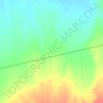
Name: Great Basin topographic map, elevation, terrain.
Location: Great Basin, Eureka County, Nevada, United States (39.49995 -116.50005 39.50005 -116.49995)
Average elevation: 1,918 m
Minimum elevation: 1,896 m
Maximum elevation: 1,952 m