Geolocate

Sikanderpur topographic map

Click on the map to display elevation.

About this map

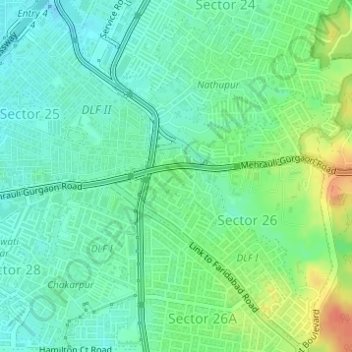
Name: Sikanderpur topographic map, elevation, terrain.

Location: Sikanderpur, Sector 26, Gurgaon, Gurugram, Haryana, India (28.47741 77.09375 28.48507 77.10151)

Average elevation: 251 m

Minimum elevation: 236 m

Maximum elevation: 281 m

Other topographic maps

Click on a map to view its topography, its elevation and its terrain.

Sohna

India > Haryana > Gurugram

Average elevation: 229 m

Ghamroj

India > Haryana > Gurugram

Average elevation: 245 m

Gear up for your next adventure:

🥾Approach Boots - Comfortable boots for hiking and climbing approaches
👟Leg Gaiters - Keep debris, mud, and snow out of your boots
❄️Traction Ice Cleats - Slip-on spikes for icy trails and winter hiking
👟Trail Running Shoes - Agile footwear for fast-paced topographic exploration
🔋Emergency Crank Radio - Weather alerts and power without needing batteries

As an Amazon Associate, this site earns from qualifying purchases at no extra cost to you.