Geolocate

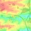
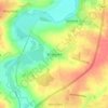
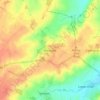
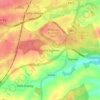
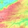
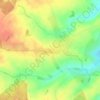
Wadenhoe topographic map

Click on the map to display elevation.

About this map

Name: Wadenhoe topographic map, elevation, terrain.

Location: Wadenhoe, North Northamptonshire, England, United Kingdom (52.43592 -0.55114 52.45809 -0.49358)

Average elevation: 60 m

Minimum elevation: 22 m

Maximum elevation: 91 m

Other topographic maps

Click on a map to view its topography, its elevation and its terrain.

Slade

United Kingdom > England > North Northamptonshire > Orton

Average elevation: 123 m

Corby

United Kingdom > England > North Northamptonshire

Average elevation: 103 m

Corby

United Kingdom > England > North Northamptonshire

Average elevation: 103 m

Corby

United Kingdom > England > North Northamptonshire

Average elevation: 103 m

Corby

United Kingdom > England > North Northamptonshire

Average elevation: 103 m

Gear up for your next adventure:

🗺️Topographic Maps - Detailed maps to explore trails, mountains, and wilderness areas
🧤Rechargeable Heated Gloves - Extreme warmth for Canadian winter expeditions
🐕Hiking Dog Pack - Let your canine companion carry their own water and food
💡Compact LED Flashlight - Powerful and portable flashlight for outdoor use
🧥Waterproof Pants - Keep dry during rainy hiking conditions

As an Amazon Associate, this site earns from qualifying purchases at no extra cost to you.