Geolocate

Wanham topographic map

Click on the map to display elevation.

About this map

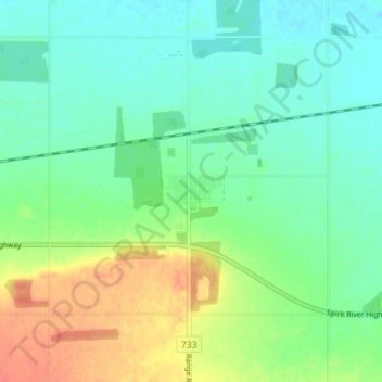
Name: Wanham topographic map, elevation, terrain.

Location: Wanham, Birch Hills County, Alberta, T0H 3P0, Canada (55.71592 -118.40808 55.75592 -118.36808)

Average elevation: 599 m

Minimum elevation: 583 m

Maximum elevation: 628 m

Birch Hills County trails, hiking, mountain biking, running and outdoor activities

Gear up for your next adventure:

🧤Thermal Hiking Gloves - Grip-enhanced gloves for cold-weather altitude trekking
🦯Trekking Poles - Reduced impact on joints for steep topographic climbs
🥾Light Hiking Boots - Lightweight and comfortable boots for day hikes
🥾Trail Hiking Socks - Comfortable socks to prevent blisters and fatigue
🎒Hiking Daypack - Lightweight and durable backpacks for day trips and excursions

As an Amazon Associate, this site earns from qualifying purchases at no extra cost to you.