
Crystal River topographic map
Click on the map to display elevation.
About this map
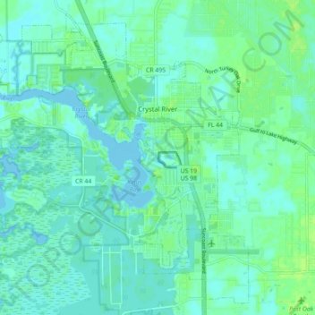
Name: Crystal River topographic map, elevation, terrain.
Location: Crystal River, Citrus County, Florida, 34429, United States (28.85482 -82.65534 28.92593 -82.56712)
Average elevation: 4 m
Minimum elevation: -2 m
Maximum elevation: 12 m
Other topographic maps
Click on a map to view its topography, its elevation and its terrain.