Geolocate

Hoo topographic map

Click on the map to display elevation.

About this map

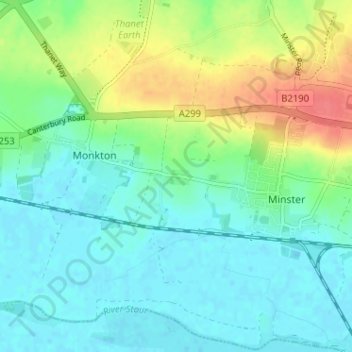
Name: Hoo topographic map, elevation, terrain.

Location: Hoo, Minster, Thanet, Kent, England, CT12 4JB, United Kingdom (51.31651 1.27609 51.35651 1.31609)

Average elevation: 16 m

Minimum elevation: -1 m

Maximum elevation: 54 m

Gear up for your next adventure:

🥾Waterproof Trail Shoes - Shoes designed to handle wet terrain
🧦Thermal Socks - Warm socks for winter hiking or camping
🧰Survival Kit - Essential gear for emergencies in the wilderness
🛌Insulated Sleeping Pad - Critical thermal barrier between you and the cold ground
🔦UV Flashlight - Detect minerals or specific insects in the dark

As an Amazon Associate, this site earns from qualifying purchases at no extra cost to you.