Geolocate

Durnford Farm topographic map

Click on the map to display elevation.

About this map

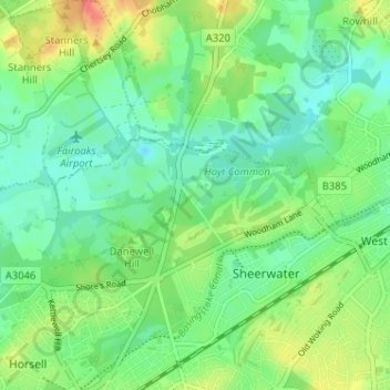
Name: Durnford Farm topographic map, elevation, terrain.

Location: Durnford Farm, Woking, Surrey, England, GU21 5NJ, United Kingdom (51.32205 -0.55938 51.36205 -0.51938)

Average elevation: 31 m

Minimum elevation: 14 m

Maximum elevation: 61 m

Other topographic maps

Click on a map to view its topography, its elevation and its terrain.

Horsell Common

United Kingdom > England > Surrey > Woking > Horsell

Average elevation: 33 m

Gear up for your next adventure:

🧦Crew Hiking Socks - Comfortable socks for long-distance hikes
🥾Approach Shoes - Shoes designed for climbing approaches and rugged trails
🍽️Titanium Camping Spork - Ultralight and indestructible eating utensil
🥤Collapsible Travel Cup - Saves space and weight in your mess kit
🧴Outdoor Sunscreen - High SPF protection for high-altitude UV exposure

As an Amazon Associate, this site earns from qualifying purchases at no extra cost to you.