

Lahmar topographic map
Click on the map to display elevation.
Lahmar
Lahmar lies at an altitude of 939 metres (3,081 ft) on a rocky plain with scattered higher mountains to the east. One prominent range of hills is just to the east, and separates Lahmar from the nearby locality of Sfissifa.
About this map
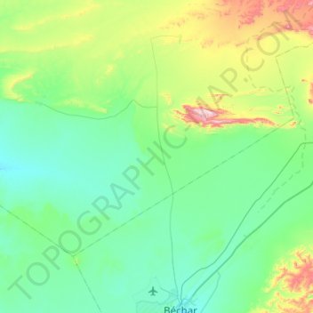
Name: Lahmar topographic map, elevation, terrain.
Location: Lahmar, Lahmar District, Bechar, Algeria (31.69636 -2.56458 31.99161 -2.02013)
Average elevation: 905 m
Minimum elevation: 774 m
Maximum elevation: 1,467 m