Geolocate

Ledsham topographic map

Click on the map to display elevation.

About this map

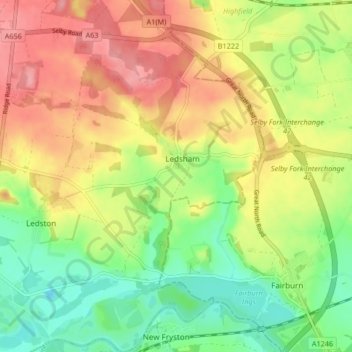
Name: Ledsham topographic map, elevation, terrain.

Location: Ledsham, Leeds, West Yorkshire, England, United Kingdom (53.73478 -1.33760 53.78386 -1.29035)

Average elevation: 45 m

Minimum elevation: -1 m

Maximum elevation: 91 m

Gear up for your next adventure:

🎒Fully Waterproof Backpack - Total protection for photography gear and electronics
🧼Travel Hand Sanitizer - Keep hands clean when water is scarce
🥾Mountain Hiking Boots - High-traction boots for rocky terrain
🧤Insulated Winter Gloves - Heavy-duty protection for sub-zero Canadian adventures
🥾Durable Hiking Shoes - Long-lasting shoes for frequent hiking

As an Amazon Associate, this site earns from qualifying purchases at no extra cost to you.