Geolocate

Ridgeway topographic map

Click on the map to display elevation.

About this map

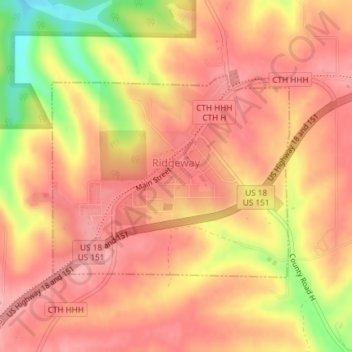
Name: Ridgeway topographic map, elevation, terrain.

Location: Ridgeway, Iowa County, Wisconsin, United States (42.99104 -90.00556 43.00655 -89.98064)

Average elevation: 338 m

Minimum elevation: 259 m

Maximum elevation: 371 m

Other topographic maps

Click on a map to view its topography, its elevation and its terrain.

Edmund

United States > Wisconsin > Iowa County

Average elevation: 351 m

Jonesdale

United States > Wisconsin > Iowa County

Average elevation: 306 m

Blue Mounds

United States > Wisconsin > Iowa County

Average elevation: 417 m

Gear up for your next adventure:

🧣Merino Neck Gaiter - Protects against wind, sun, and cold at high altitudes
🥾Waterproof Hiking Shoes - Durable shoes for wet and rugged trails
🩹Compact First Aid Kit - Pre-packed essentials for common trail injuries
🥾Waterproof Hiking Boots - Boots keeping your feet dry in wet conditions
🔋Emergency Crank Radio - Weather alerts and power without needing batteries

As an Amazon Associate, this site earns from qualifying purchases at no extra cost to you.