
Thank you for supporting this site ❤️
Make a donation
Make a donation
Gear up for your next adventure:
As an Amazon Associate, this site earns from qualifying purchases at no extra cost to you.
Quitaracsa topographic map
Click on the map to display elevation.
Thank you for supporting this site ❤️
Make a donation
Make a donation
Gear up for your next adventure:
As an Amazon Associate, this site earns from qualifying purchases at no extra cost to you.
About this map
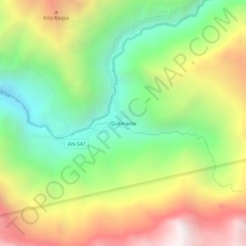
Name: Quitaracsa topographic map, elevation, terrain.
Location: Quitaracsa, Yuracmarca, Huaylas, Áncash, Perú (-8.79310 -77.75700 -8.75310 -77.71700)
Average elevation: 3,831 m
Minimum elevation: 3,052 m
Maximum elevation: 4,858 m
Thank you for supporting this site ❤️
Make a donation
Make a donation
Gear up for your next adventure:
As an Amazon Associate, this site earns from qualifying purchases at no extra cost to you.