Geolocate

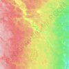
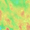
Mundekulla topographic map

Click on the map to display elevation.

About this map
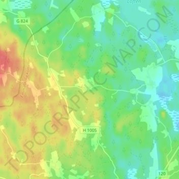
Name: Mundekulla topographic map, elevation, terrain.

Location: Mundekulla, Emmaboda kommun, Kalmar County, 361 95, Sweden (56.59440 15.39714 56.63440 15.43714)

Average elevation: 143 m

Minimum elevation: 122 m

Maximum elevation: 175 m

Other topographic maps

Click on a map to view its topography, its elevation and its terrain.
Hultsfreds kommun

Sweden > Kalmar County

Average elevation: 144 m

Vimmerby kommun

Sweden > Kalmar County

Average elevation: 149 m

Högsby kommun

Sweden > Kalmar County

Average elevation: 97 m

Nybro kommun

Sweden > Kalmar County

Average elevation: 109 m

Mönsterås kommun

Sweden > Kalmar County

Average elevation: 26 m

Hultsfreds kommun

Sweden > Kalmar County

Average elevation: 143 m

Store Hindsjön

Sweden > Kalmar County

Average elevation: 118 m

Emmaboda kommun

Sweden > Kalmar County

Average elevation: 141 m

Emmaboda kommun

Sweden > Kalmar County

Average elevation: 141 m

Oskarshamns kommun

Sweden > Kalmar County

Average elevation: 63 m

Alen

Sweden > Kalmar County

Average elevation: 142 m

Hansa City

Sweden > Kalmar County

Average elevation: 7 m

Kalmar kommun

Sweden > Kalmar County

Average elevation: 28 m

Gear up for your next adventure:

🧢Beanie Hat - Keep your head warm in cold weather
🥾Trail Hiking Shoes - Durable shoes designed for rugged trails
❄️Traction Ice Cleats - Slip-on spikes for icy trails and winter hiking
⛺Lightweight Backpacking Tent - Compact tent for efficient hiking trips
📷Outdoor Action Camera - Capture high-elevation views and rugged adventures

As an Amazon Associate, this site earns from qualifying purchases at no extra cost to you.