
Dunnsville topographic map
Click on the map to display elevation.
About this map
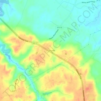
Name: Dunnsville topographic map, elevation, terrain.
Location: Dunnsville, Essex County, Virginia, 22454, United States (37.83764 -76.83968 37.87764 -76.79968)
Average elevation: 21 m
Minimum elevation: -3 m
Maximum elevation: 46 m
Other topographic maps
Click on a map to view its topography, its elevation and its terrain.